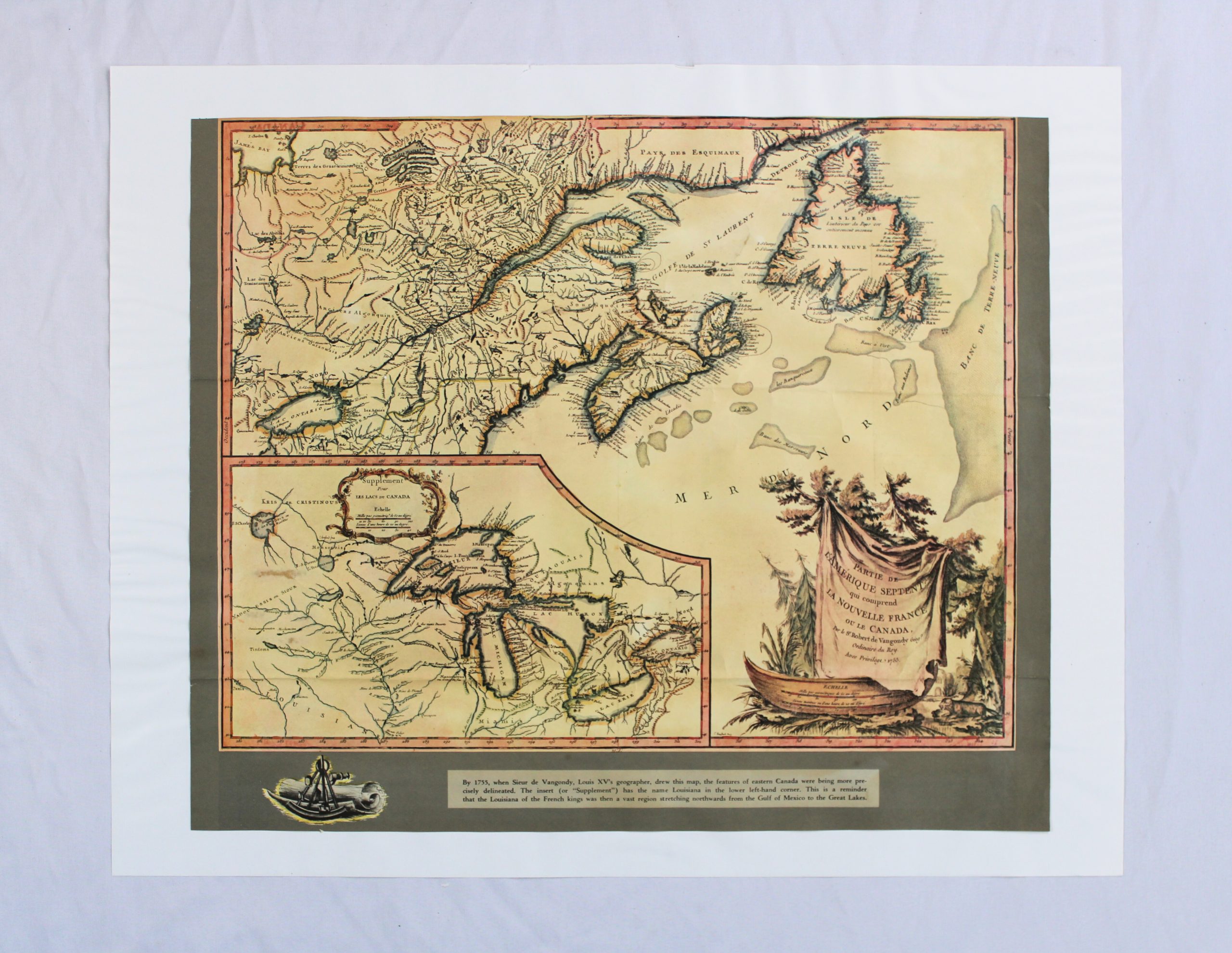
Reproduction of an 18th-century engraved map titled « Partie de l’Amérique Septentrionale qui comprend la Nouvelle France ou le Canada, » attributed to Robert de Vangondy, Ordinaire du Roy, with a privilege date of 1788 noted on the cartouche. The map depicts eastern Canada, showing the Gulf of St. Lawrence (Golfe de St. Laurent), Newfoundland (Terre Neuve), the Great Lakes region, and the Magdalen Islands (I. de la Madelaine) within the gulf, along with Indigenous nations’ territories labeled throughout (Iroquois, Algonquins, Outaouais, and others). An inset « Supplement pour les Lacs du Canada » in the lower left details the Great Lakes in greater depth. The decorative title cartouche in the lower right features a draped banner flanked by trees, with a canoe and navigational instrument (sextant) vignette below.
A printed caption panel beneath the map explains that Sieur de Vangondy, geographer to Louis XV, drew the map by 1755, with the inset noting the extent of French Louisiana at the time, stretching from the Gulf of Mexico to the Great Lakes. This framing text indicates the item is a later reproduction or educational reprint of the historical map rather than an original period engraving.
