Retour

insurance plans

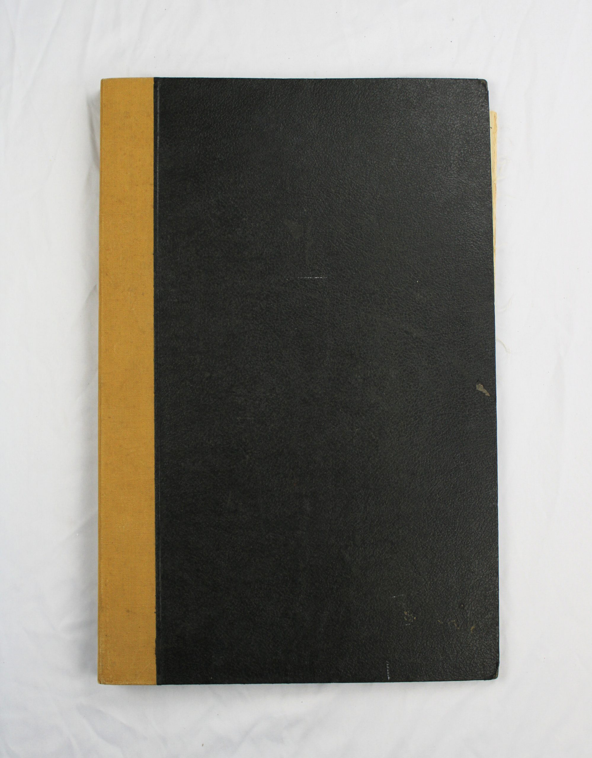
Bound fire insurance atlas, black cover with tan cloth spine, titled « Insurance Plan of the Mercantile Areas of the Magdalen Islands, Quebec, » produced by the Underwriters’ Survey Bureau Limited (Toronto and Montreal) and dated September 1950. A loan/ownership slip bound at the front records that the plan was the property of the Underwriters’ Survey Bureau and was loaned to Charles W. Clark for use in connection with member companies of the Prince Edward Island Board of Fire Underwriters (Form 17D, printed September 1928).

The atlas contains detailed hand-colored key and detail plans of the mercantile areas of the Magdalen Islands, drawn at a scale of 2 miles to the inch for the key plan, with larger-scale detail sheets for individual communities. Plates viewed include Plate 1 (overview key plan showing Grand Entry, Wolfe Island, House Harbour, Amherst Island, and Brion Island, population noted as 12,000, with a colour-coded legend of building materials and hazards), Plate 2 (detail of House Harbour, Grand Entry, and surrounding roads showing individually numbered lots with building footprints, including a lobster cannery and fish/lobster canning operations), and Plate 4 (detail of Étang du Nord, Bassin, and Amherst/Amherst Point, similarly showing numbered properties and buildings).

Fire underwriters used these insurance plans to assess risk for individual properties, and they remain valuable historical records of building stock, land use, and industry (particularly lobster and fish canning/packing) in the Magdalen Islands at mid-century.